There are many reasons why knowing your property boundary lines is important, especially to solve disputes with neighbors. Here’s how you can find them.

Ever thought about putting up a fence or growing a tree at the edge of your garden? If you have, then chances are that you have had to look into your property’s boundary lines.
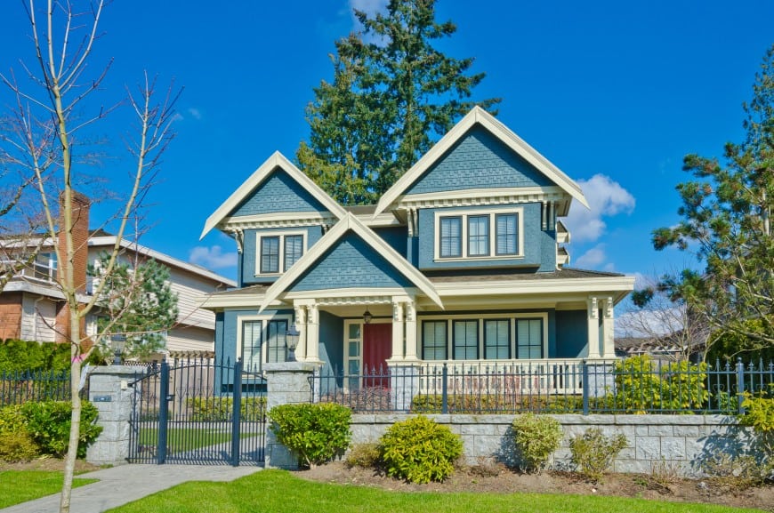
You might have a general idea of where your property ends because of pre-existing fences, driveways, walls or hedges.
Sometimes though, the exact dimensions and measurements of your property can help you get out of a situation where you want to construct or if you don’t want construction in a specific area.
Knowing your exact measurements can help you to understand how much of the land is yours and establish boundaries as well. First, let’s understand what exactly a property boundary line is:
What is a Property Boundary Line?
A property line is the legal boundary given to a piece of land. The property line can be defined by a physical construct like a wall, hedge, ditch, or fence, but the actual line is just an invisible division between two properties.
These lines don’t just exist on the sides where other properties exist; rather, they go all around the property, including the edge of the driveway and the backyard.
Why You Need To Know Your Property Boundary Lines
Boundary lines are in place to form distinct points to separate land between owners. These lines can often be a topic of dispute and come under scrutiny, so knowing the exact measurements is very important.
Knowing your property line is extremely important when you want to construct on your property. The main types of construction or addition to your home that may pose a problem without knowing the exact property dimensions are putting up a fence, digging for a pool or building a garage.
Not knowing your boundary lines and constructing can turn into an ugly legal dispute with your neighbors. So, it’s better to have all the information, so you can freely construct on your land without encroaching on your neighbor’s property.
How to Find Your Property Boundary Line
There are a few different ways to determine your property lines, which we will discuss below:
1) Look at Your Property Survey
This document is usually given to the owner when a property is purchased. The document contains the measurements and property lines, as determined by a surveyor. The survey shows the distance of your house from the property line and from the street.
2) Hire a Surveyor
In case you did not receive this document when you purchased your house, you will need to hire a surveyor.
These professionals use GPS and other measurement techniques to determine the boundary lines of your property.
Once the corners have been determined, the surveyor marks them with wooden stakes to help make further measurements.
The cost of hiring a surveyor can vary, depending on your location, the size of your property and its value.
3) Check Your Deed
In your property’s deed, you will be able to get the measurements and dimensions of your land. You will need to measure in from the landmarks mentioned in the deed to determine the exact corners of the property.
Mark the corners with stakes and continue using the measurements provided on the deed to get your exact boundary lines. This method may take a lot of time and patience, but it will give you a physical representation and clear knowledge of your property boundary lines.
4) Check an Official Website
If you go on your county’s official website, you can redirect to your assessor’s office site. The sites often have mapping tools available for all the real estate in the area.
Find your property on the map using nearby landmarks and streets. Streets and landmarks are fixed points that can be used to measure from.
The property lines will be defined on the map, but if you want exact measurements, you can use a tape measure from these landmarks to the property lines to get exact calculations.
5) Go to Your County or Assessor’s Office
If your county does not have the mapping service available on their website, you might have to go to the county records office physically.
You will have access to the maps that are available for public viewing; you can ask someone at the office to help you get a copy of the map for your street.
Use the maps for reference and measure the property lines using landmarks as a guide to get a physical representation of your boundary.
Before you start any construction on your property, make sure you know the exact property lines to avoid any messes or disputes in the future.
You can also use these lines to make sure your neighbors aren’t encroaching on your property; in any case, this is useful information to have!
Related Posts
- Comparison of Shiplap vs “Tongue and Groove” vs Beadboard Wall Paneling
- Comparison of Manufactured vs Modular Homes with Pros/Cons
- 10 Different Types of Glass for Home Windows (With Pros and Cons)
- Here Are The Main Pros and Cons of a Barndominium House
- Main Advantages and Disadvantages of Vaulted Ceilings for Homes
- Top 9 Drywall Alternatives for Your Home Ceiling (With Photos)
Good afternoon Glen,
Thanks for this helpful post.
We are looking at the red boundary lines of a property we are in the process of purchasing and have been told there is ‘an arrangement that the path between the houses is shared. I am not sure is this is an ad hoc or oral arrangement as the boundary line appears to show the path belongs to the property we are purchasing.
Any thoughts on this?
Many thanks,
Trevor
The only official entity to answer your question is the local land registry/real estate register authority.
Hope I helped a little